This page contains a list of cycling routes in the regions of Chamonix, Annecy, Saint-Gervais and Megève, which we have tested ourselves and can recommend to you.
Routes selected for you
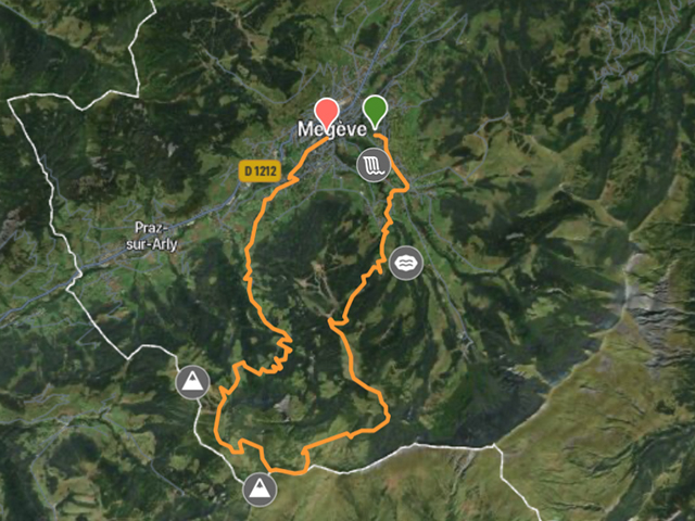
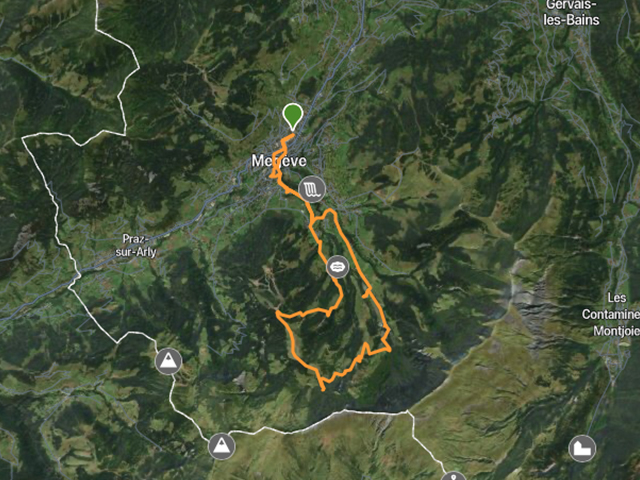
Megeve-Javen-Planelet-Megeve
Medium
Difficulty
16 km
Distance
508 m
Elevation
2.5 h
Duration
Megeve 16,1
Medium
Difficulty
16.1 km
Distance
662 m
Elevation
3 h
Duration
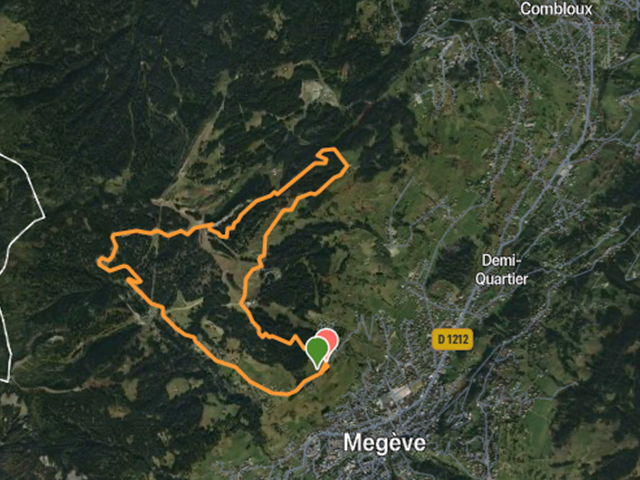
Megeve 10,9
Medium
Difficulty
10.9 km
Distance
587 m
Elevation
1.5 h
Duration
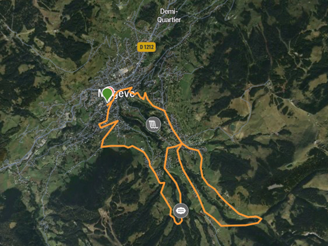
Macis-Mont-Blanc-Megeve-le-Rochebrune
Hard
Difficulty
22.7 km
Distance
649 m
Elevation
2.5 h
Duration
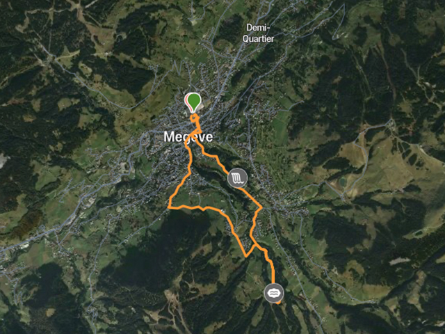
Demi-Quartier-Megeve
Hard
Difficulty
10.1 km
Distance
317 m
Elevation
1.5 h
Duration
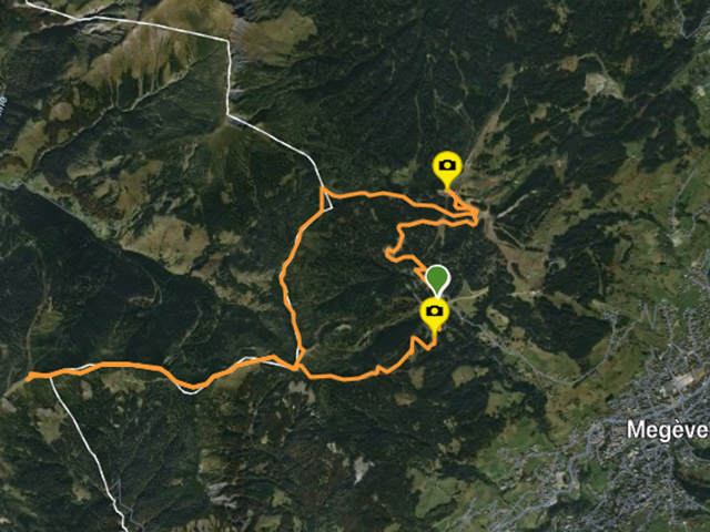
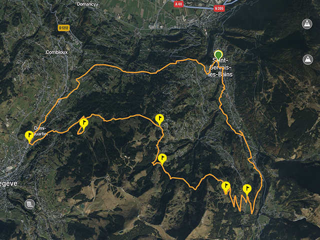
Boucle-Balcon-Mont-Blanc
Medium
Difficulty
16.5 km
Distance
901 m
Elevation
3 h
Duration
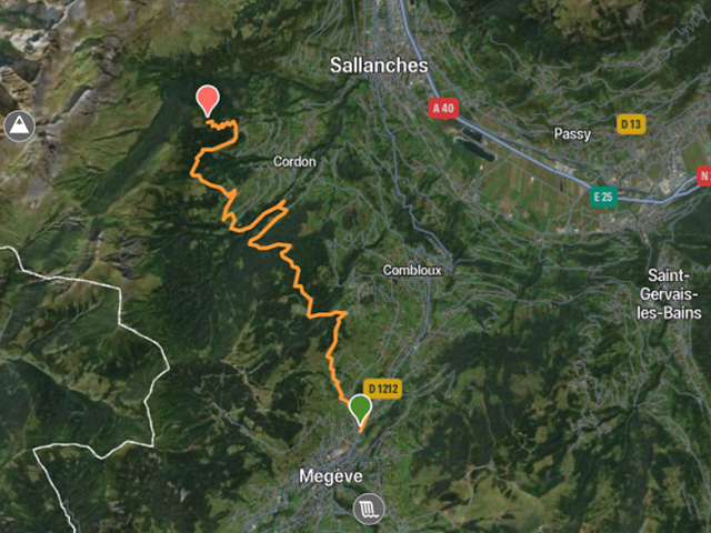
Balade – Megeve
Hard
Difficulty
24 km
Distance
924 m
Elevation
3.5 h
Duration
Saint-Gervais – Saint-Nicolas-De-Veroce-Plateau-De-Croix-Betex
Hard
Difficulty
32.4 km
Distance
932 m
Elevation
4 h
Duration
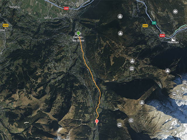
Superbe – a Saint-Gervais
Medium
Difficulty
20.9 km
Distance
947 m
Elevation
4 h
Duration
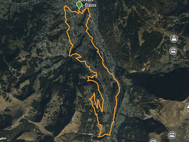
Saint-Gervais – Parc Thermale – Saint-Gervais
Medium
Difficulty
10.9 km
Distance
293 m
Elevation
2 h
Duration
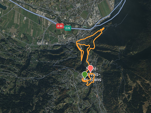
Saint-Gervais Les Bains La Chapelle
Medium
Difficulty
7 km
Distance
238 m
Elevation
1.5 h
Duration
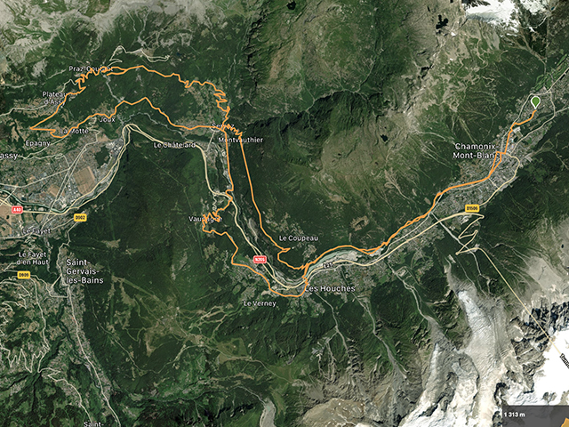
Chamonix – Servoz – Passy – Les Houches – Chamonix
Hard
Difficulty
55 km
Distance
1702 m
Elevation
5.5 h
Duration
For more flexibility and mobility, you can download the routes (GPX-files) to your mobile phone so that you can navigate with them during your journey anywhere and anytime, even without mobile network!
We recommend that you download applications to read files in GPX format to help you plan your journey.